Satellite Navigation
1 Ntrip Enterprise – an activity focusing on Open Data, Open Source, and Open RTCM Standards in the GNSS area – could become involved where Internet communication and real-time Satellite Navigation get together. Whenever high precision positioning requires correction data over mobile IP networks, we may be helpful with geodetic know-how. Being connected to a global network of experts, we could provide advice or assist if a professional geodesist's knowledge is required.
Precise Point Positioning
2 Precise Point Positioning is a real-time satellite navigation technique where a GNSS rover applies corrections to broadcast ephemeris as received from a service provider. What's required is basically corrections for satellite orbits and satellite clocks, supplemented by information describing the local atmosphere and a number of systematic effects. Ntrip Enterprise could get involved when stationary or mobile Internet communication is used for the transfer of corrections - on time, complete, free from outages.
GNSS Reference Station Networks
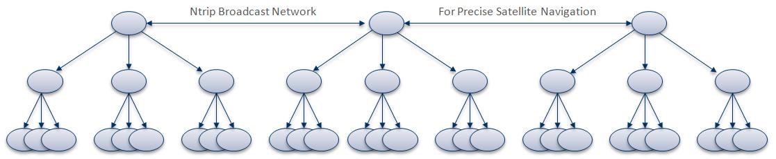
3 Whatever kind of positioning service with correction data you are interested in, it's all based on continuously operated GNSS reference stations. Various receiver manufacturers can be involved, hardware must be configured, observation data will be uploaded once per hour or continuously as a stream. Setting up GNSS reference station networks and operating them is where Ntrip Enterprise has an expertise which could be shared with you.
© 2014-2020 Georg Weber - Ntrip Enterprise